
Winter Comforts for a Quiet Weekend at Home
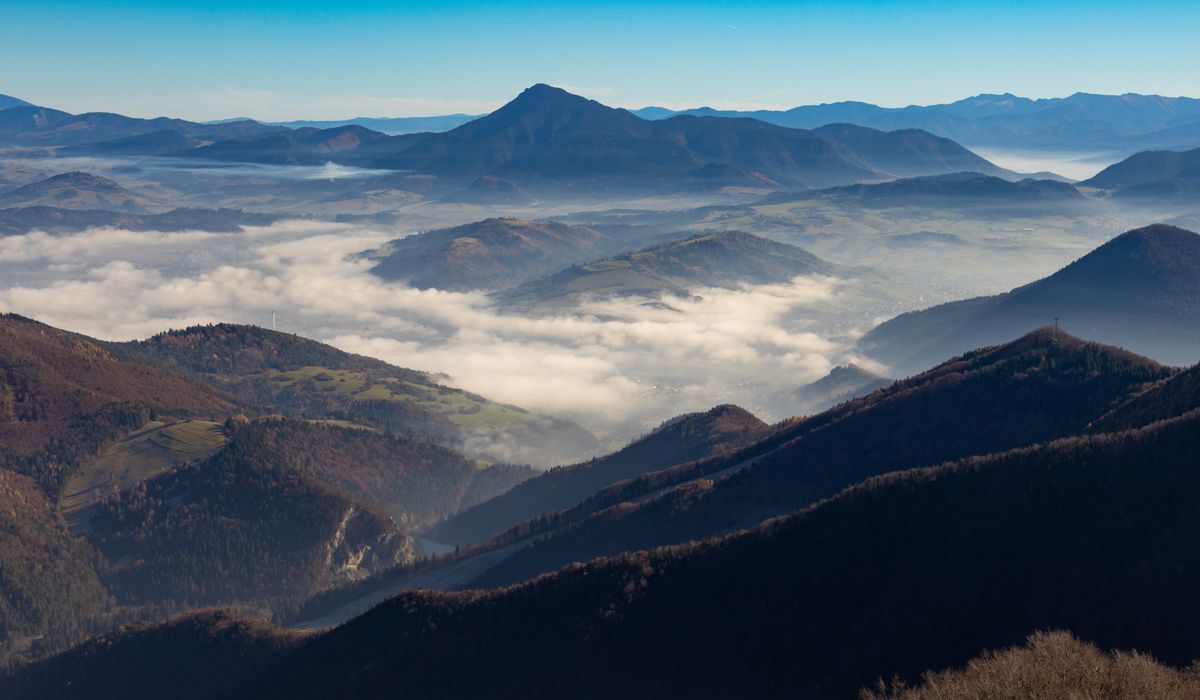
A valley is one of the best places to practise slow travel, because everything worth reading is within a mile of your boots. You do not need a summit, a long-distance path, or a good weather window. A gentle circuit along lanes, footpaths and field edges, walked at half your usual pace, will show you centuries of work by people, weather and animals — if you know what to look for.
Why a Valley Rewards Slow Looking
Valleys are accumulations. Soil, stone, water and people all end up gathered in the same low ground, and the evidence lies in layers, much like the strata in a riverbank. Hilltops are exposed and simple; valleys are sheltered, fertile and busy, which is why they have been farmed, drained, divided and re-divided for millennia.
The practical upshot is that you can read a valley at walking pace. Nothing here requires specialist knowledge or expensive kit — just a willingness to stop, look backwards, and ask why a boundary bends where it bends. As a rule, walk the same short route three or four times across the year. Familiarity is what turns a pleasant stroll into a habit of noticing.
Field Patterns: Curves, Corners and Straight Lines
Begin with the shape of the fields themselves. Stand at a gate and trace the boundaries with your eye. The geometry is rarely accidental.
- Ridge and furrow. Low, parallel corrugations running across a pasture, best seen in low winter sunlight when the shadows stretch. These are the fossilised remains of medieval ploughing with ox teams, and the ridges doubled as drainage.
- Curving, irregular boundaries. Often older. They tend to follow the lie of the land, a stream, or the remnants of medieval open-field strips consolidated piecemeal over generations.
- Long, straight walls and hedges. Usually a sign of later, planned enclosure — boundaries laid out with a ruler and a surveyor rather than a plough.
- Narrow, parallel strips. Remnants of open-field farming, occasionally still visible as slightly different grass colour or soil height.
Notice, too, where boundaries stop. A wall that ends abruptly at a stream, or a hedge that changes character halfway along, is often marking a change of ownership, parish or soil type.
Walls and Boundaries: A Geology Lesson Underfoot
Stone walls tell you what lies beneath the soil, and how far it had to travel. Look closely at the material.
- Limestone walls are often pale, drystone and occasionally full of fossils. Look for shell fragments and crinoid stems.
- Gritstone and sandstone walls tend to be darker, heavier and blockier, with larger coping stones on top.
- Mixed walls with odd bricks, slate or rounded river cobbles usually mean the builder used whatever was nearest to hand.
- Squeeze stiles and gaps in a wall indicate a footpath older than the wall itself — the route came first, and the wall was built around it.
Gateposts are worth a glance as well. A wide gap with a narrow gate, or iron hinges set into stone, suggests a route that once carried carts or animals rather than walkers. Wear on the top of a stile, polished smooth by hands, is a small record of everyone who came this way before you.
Tree Lines, Hedges and the Wind
Trees are the slowest and most eloquent witnesses in the valley. A hedgerow containing several woody species — hawthorn, hazel, ash, field maple, dogwood — within a thirty-pace stretch is generally older than one with a single dominant species. A line of mature trees across a field, with no fence beneath them, is usually an old boundary that predates the present layout.
Watch how trees grow, too. In exposed valleys, crowns are combed and branches lean away from the prevailing south-westerly, so a lone oak can tell you the direction of the weather without a compass. Pollarded willows along a stream show where a crop of poles was harvested on a cycle. Coppice stools — squat, many-stemmed bases — reveal woods that were worked rather than simply left to grow.
Water, Lanes and Weather
Water leaves the clearest handwriting. A holloway worn deep between banks is the result of feet, hooves, cartwheels and rain over centuries, and its depth is a rough measure of how long it was used. Look for leats, culverts, sluices and dry mill races, which show where the valley's power was once harvested. Dew ponds on higher ground, and the slight terracing of old water meadows, reveal a time when every drop was managed.
Weather is your ally in all this. Low winter sun rakes across the ground and lifts earthworks out of the grass. Rain darkens stone and reveals the mortar lines, repairs and alterations in a wall. A dry summer exposes parch marks where buried walls and paths hold less moisture. Even a hard frost will show you a field's drainage pattern at a glance.
Walking It Well: Small Habits That Help
- Choose your hour. An hour after sunrise or an hour before sunset gives the longest shadows and the most readable ground.
- Slow your pace deliberately. Stop every fifteen minutes, turn around, and look back the way you came. Landscapes read differently in reverse.
- Carry a paper map and compass. Comparing the lines on the map with the boundaries in front of you is the single quickest way to learn to read a valley.
- Walk it through the seasons. Winter for structure, spring for hedge species and blossom, summer for grasses and butterflies, autumn for tree identification.
- Note what you see. A quick photograph or a line in a notebook will build your own record of a place over years.
- Leave it as you found it. Close gates, keep to footpaths across crops, and take nothing but impressions home.
None of this demands a big day out. A two-mile loop, walked slowly and repeated often, will teach you more about a valley than a dozen rushed miles elsewhere. The landscape is already talking. All you need is the time to listen.
LEAVE A COMMENT